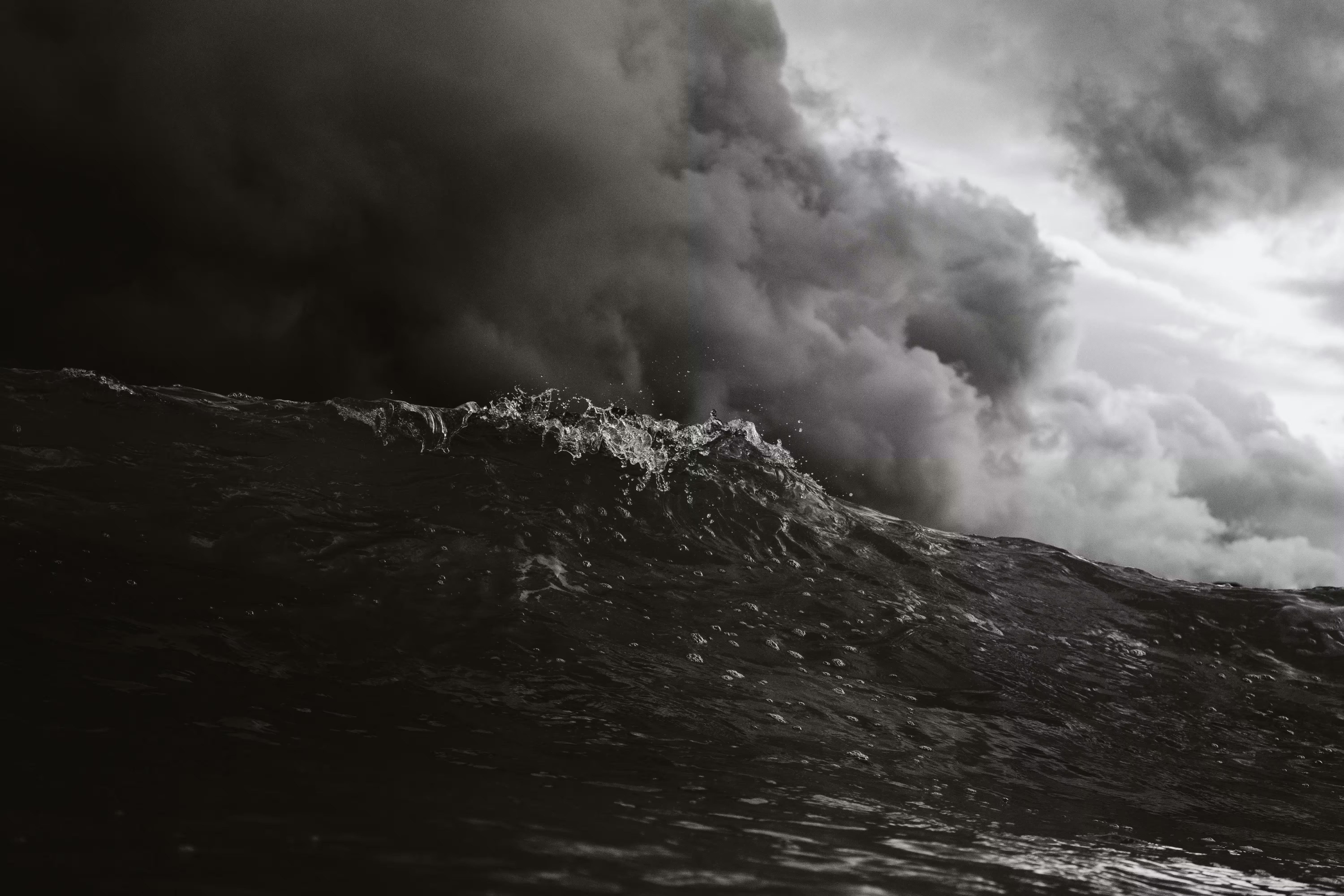
Spain Braces for Unsettled Weather as Hurricane Melissa’s Influence Reaches Europe
Spain is preparing for several days of changeable weather as the remnants of Hurricane Melissa, a powerful Category 5 storm that tore through parts of the Caribbean, begin to influence conditions across Europe. While the hurricane itself will not reach Spanish shores, the system has stirred up the Atlantic enough to send strong winds, heavy rain, and rough seas towards parts of the country.
From the Caribbean to the Coast of Spain
After devastating several islands earlier this week, Hurricane Melissa moved north into cooler waters where it began to lose strength. But even in its weakened state, the storm has left behind a pocket of unsettled weather and moisture that’s now clashing with new Atlantic fronts heading for Western Europe.
The result is a spell of unsettled, autumn-style weather that will affect large areas of Spain over the coming days, particularly the north and west, where rain and wind are expected to be strongest.
Which Areas Will See the Worst of It
Galicia, Asturias, Cantabria, and Castilla y León are likely to see the heaviest rain and strongest winds first. Weather alerts are already in place for these regions, where gusts could reach up to 80 km/h in exposed coastal areas. In Galicia, forecasters warn of persistent rain that may lead to localised flooding, especially in low-lying areas and near rivers.
Further south, Andalucía’s Atlantic coast could also experience choppy seas and blustery conditions. In contrast, the Mediterranean side, including Murcia, Alicante, and the Balearic Islands, will see more isolated showers, though some of these could be heavy and accompanied by thunder.
The Canary Islands may also feel Hurricane Melissa’s long-distance effects in the form of swells and unsettled skies, though temperatures there will remain relatively mild.
Predicción para el resto de la semana:
— AEMET (@AEMET_Esp) October 30, 2025
Esta tarde y noche: lluvias en Galicia.
Viernes y sábado: lluvias persistentes en el noroeste peninsular con acumulaciones importantes.
Domingo: algún chubasco ocasional en el interior peninsular.
🌡️Temperaturas habituales de esta época. pic.twitter.com/CSjR0prMT5
What to Expect in the Coming Days
As we move through the week, western regions are forecast to see the most rain, while central and eastern Spain could experience shorter bursts of showers followed by clearer spells. Temperatures are expected to dip slightly, particularly at night, marking a shift towards more typical November weather after a warm and dry October.
Coastal residents should stay alert for rough seas and sudden gusts. Even strong swimmers and walkers are urged to avoid getting too close to the water during high-wave warnings. Each year, Spain records multiple accidents caused by rogue waves during autumn storms.
The Bigger Picture: Spain’s Weather Is Shifting
Meteorologists say that the remnants of Hurricane Melissa highlight a growing trend: the increasing volatility of Spain’s autumn weather. Atlantic systems are arriving stronger and wetter, while the Mediterranean continues to hold more heat and moisture well into November. This combination often produces the kind of unsettled conditions that can lead to flash floods or long periods of rain.
Some forecasters suggest this pattern could continue into the coming month, with another active weather phase expected around mid-November. There’s even the potential for an early cold snap in northern and inland areas as winter air begins to move south.
Staying Safe and Prepared
For expats living along the coast or in rural areas, it’s a good time to take a few precautions:
- Check drains, gutters, and terraces to make sure water can flow freely.
- Secure outdoor furniture or plants that could blow over in gusty winds.
- Keep up with local weather updates from AEMET (Spain’s Meteorological Agency) and local councils.
- Avoid walking or driving through flooded streets; even shallow water can be deceptively dangerous.
And while the idea of “a hurricane reaching Spain” can sound alarming, the reality is more about a turbulent weather shift, one that’s normal for this time of year but still worth respecting.
Once this unsettled spell passes, forecasters expect a brief return to calmer, clearer conditions, possibly followed by another Atlantic front in mid-November. For now, the best advice is simple: stay alert, stay informed, and take care when travelling or spending time outdoors.
Share this content:


Post Comment