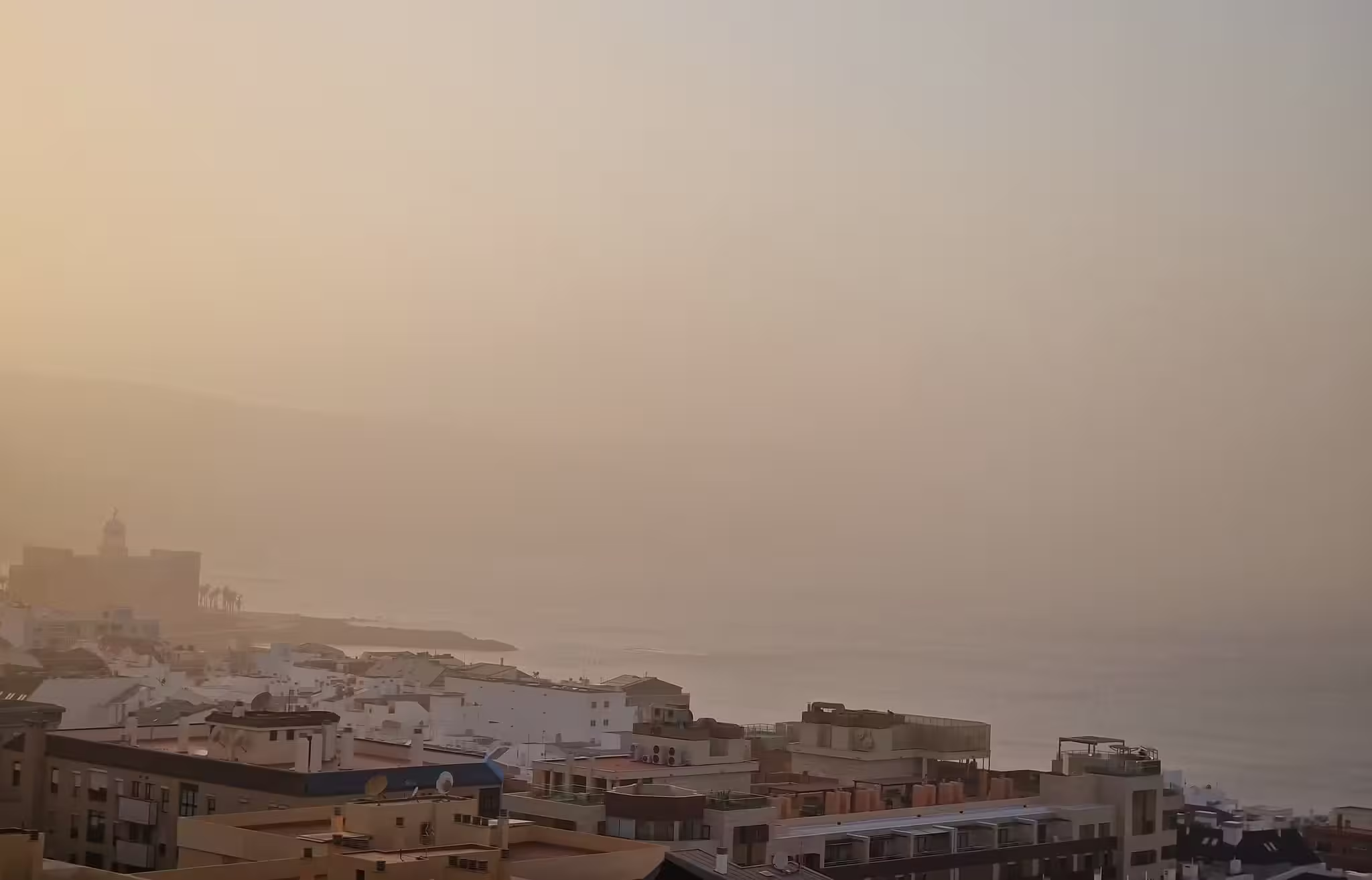
Storm Dorothea Brings Calima to Canaries, Dust Clouds Head for Mainland Spain
The Canary Islands are currently dealing with a severe episode of calima, a thick dust haze carried from the Sahara by southeast winds. The dust is causing ‘very unhealthy’ air quality levels across Lanzarote and other parts of the archipelago. The Spanish Meteorological Agency (AEMET) has issued yellow alerts, warning residents to take precautions as conditions are expected to persist until Friday, December 20.
The fine particles suspended in the air, some as small as 2.5 micrometers, pose a risk to everyone, not just those with existing health conditions. Breathing in this dust can lead to irritation in the throat and eyes, shortness of breath, and discomfort, particularly for people with asthma, allergies, or other respiratory issues. Visibility has also dropped significantly which has made travel more challenging.
Storm Dorothea Leaves Disruption Across the Islands
Before the arrival of the calima, Storm Dorothea swept through the Canary Islands, bringing strong winds, unseasonably high temperatures, and significant disruptions. Wind gusts exceeded 100 km/h in several areas, such as Anaga, El Sauzal, and La Orotava Valley in Tenerife.
The storm caused over 100 reported incidents, including blocked roads, fallen trees, and widespread power outages. In Tenerife alone, 9,574 residents experienced power cuts, with the hardest-hit areas being Los Realejos, Guía de Isora, and Santa Úrsula. Emergency services were kept busy with 84 interventions, including small wildfires in La Orotava and La Victoria. Meanwhile, in El Hierro, the storm caused roof damage and blocked access roads with debris and fallen rocks.
Adding to the unusual weather, Tenerife recorded record-breaking temperatures for December, with Puerto de la Cruz reaching lows of 29.6°C and highs of 31.5°C. Several other towns experienced daytime temperatures close to 30°C, extraordinary for this time of year.
#EFEFotos | Tras el vendaval de la borrasca Dorothea, la calima empieza a envolver las islas más orientales de Canarias.
— EFE Canarias (@EFE_Canarias) December 16, 2024
🔹 Tenerife: Ramón de la Rocha
🔹 El Hierro: Gelmert Finol
🔹 Fuerteventura: Carlos de Saá
🔹 Lanzarote: Adriel Perdomo pic.twitter.com/kWCY8jdweL
How Will Mainland Spain Be Affected?
As Storm Dorothea moves rapidly north, its effects are expected to diminish in the Canary Islands. Southeast currents will carry some of the calima dust toward mainland Spain. Regions in the southwest, such as Andalucía and Extremadura, are expected to experience light calima on Wednesday, December 18, particularly at higher altitudes. While the dust concentrations will be much lower than in the Canary Islands, it may still lead to hazy skies and slightly reduced air quality.
For mainland Spain, Storm Dorothea’s effects will also include rising temperatures. The storm has pushed warmer air across the Iberian Peninsula, with many regions expected to see unseasonably mild weather midweek. Temperatures will rise significantly in northern areas and at higher altitudes, while parts of the southeast may experience a lingering dust haze through Thursday.
Looking Ahead: Improvement on the Horizon
The good news is that the calima in the Canary Islands is expected to clear gradually by Friday, December 20, as winds shift direction. Residents can expect a return to more typical winter weather, with cooler temperatures and clearer skies. Mainland Spain will see any dust haze disperse by late Thursday as conditions stabilize.
For now, residents in both the Canary Islands and affected parts of mainland Spain are encouraged to limit outdoor activities, stay hydrated, and keep windows closed to reduce exposure to the dust. Those with respiratory conditions should take extra care and follow local health advice.
Share this content:


1 comment