Hot Air from Africa to Drive Temperatures Up Across Spain
After a relatively pleasant second half of July, with daytime highs mostly in the low to mid-30s, it’s been a manageable summer for many across Spain. But that stretch of bearable weather may soon be over.
The Spanish State Meteorological Agency (AEMET) has now issued a special notice for what they’re officially calling a heatwave, expected to begin this Sunday, August 3, and last through Tuesday, August 5, though it could continue in some areas beyond that.
AEMET Sounds the Alarm
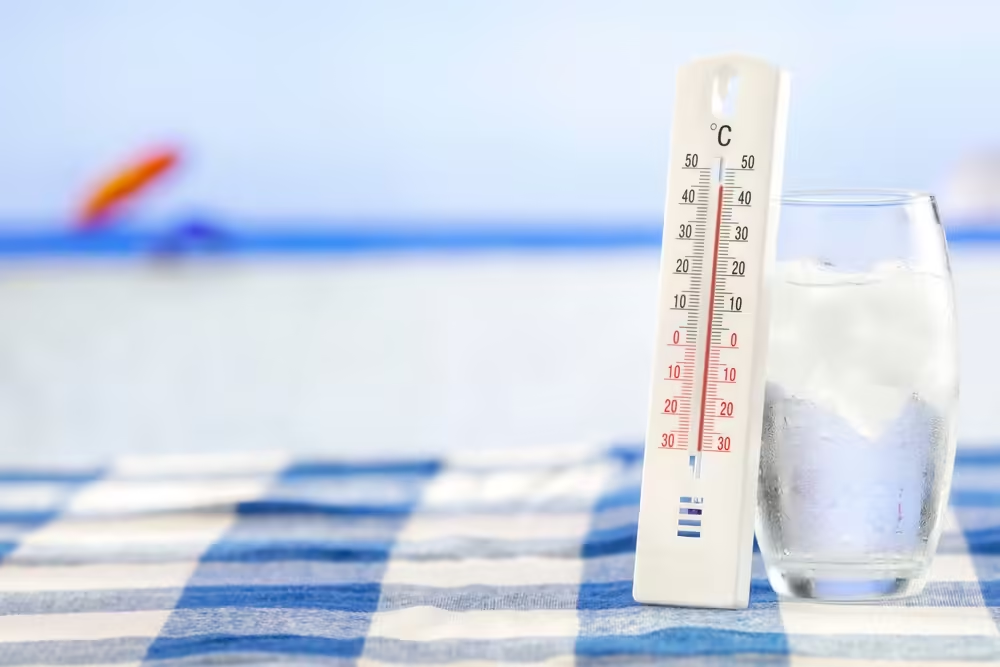
AEMET says a mass of hot air from Africa is moving in, bringing temperatures back into the 40°C range for much of the country. While some will argue this is simply what summer in Spain looks like, the agency has issued a heatwave warning due to how widespread and intense the temperatures are expected to be.
Either way, it’s safe to say we’re heading back into serious heat.
Temperatures on the Rise from Sunday
The increase in temperatures will begin over the weekend, with a general rise expected from Sunday onwards. AEMET predicts highs of 38°C or more across much of southwest Spain, especially in the Guadiana and Guadalquivir river valleys, where the heat could climb to 40–42°C.
Monday, August 4, is likely to be the hottest day. The extreme heat will stretch further north into inland areas of regions like Castilla-La Mancha, Extremadura, and even parts of Galicia and the Cantabrian interior. Temperatures near 40°C are also expected in the Tajo and Miño river valleys, with parts of Andalucía potentially exceeding 42°C.
⚠️AVISO ESPECIAL | Ola de calor.
— AEMET (@AEMET_Esp) July 31, 2025
🌡️ A partir del domingo, 3 de agosto, las temperaturas serán muy altas en amplias zonas de la Península.
→ El episodio durará por lo menos hasta el martes 5, aunque podrá prolongarse en la mitad sur.
+ info 👉https://t.co/48Lsr8QC4f pic.twitter.com/2fcbiZ8gff
Hot Days & Sleepless Nights
AEMET also warns that the heat won’t let up at night. On Monday and Tuesday, night-time temperatures could stay above 23–25°C in many areas of central and southern Spain. These warm nights, sometimes called tropical nights, can make sleeping difficult and increase the risk of heat-related health problems.
How Long Will It Last?
There is still some uncertainty about when the heat will ease. AEMET says there could be a slight drop in temperatures starting Wednesday, August 6, especially in the north. However, the centre and south of the country could stay hot for longer, depending on how long the warm air mass sticks around.
Other areas likely to experience high temperatures include inland parts of eastern Spain, such as the Valencia region and the Murcia countryside, particularly around the Júcar and Segura river areas.
In the Canary Islands, temperatures may start to rise from Monday, but they’re not expected to reach heatwave levels, at least for now.
What About the Rest of August?
Usually, the second half of August brings a welcome change, with cooler breezes helping to lower temperatures and make summer easier to handle. This natural break in the heat often offers relief after the hottest weeks.
This year, it’s still unclear whether that cooling trend will arrive on time or if much of that milder weather has already happened at the end of July. We’ll have to wait and see if the usual August cool-down shows up, or if this summer will keep turning up the heat.
Maximise Your Audience
Reach English-speaking readers in Spain with sponsored articles on The International Reporter. Each article reaches thousands of readers and, in some cases, is featured on our Resources page for ongoing visibility. We also collaborate with some of the largest expat Facebook groups in Spain, helping your content reach a highly engaged audience.
Contact us at info@theinternationalreporter.com to get your story or business noticed.
Share this content:


1 comment